Wednesday August 23
Hinchcliff Family Preserve, Spafford, Onondaga County
Hike report by Jim
Ten hikers and a dog met for a hike of the red- and yellow-blazed trails at the Hinchcliff Family Preserve above Skaneateles Lake. The day started out cool and cloudy, but by the end of the hike the sun was out and temperatures had noticeably climbed.
Trail conditions were good. There’s a new switchback trail reroute on the yellow loop that makes the climb away from the old homestead a little easier than in the past.
The views over the hills toward the lake near the end of the yellow-blazed loop are always a high point of this hike.
We ran into very few other hikers during the hike, although we did see other hikers leaving as we arrived and arriving as we departed.


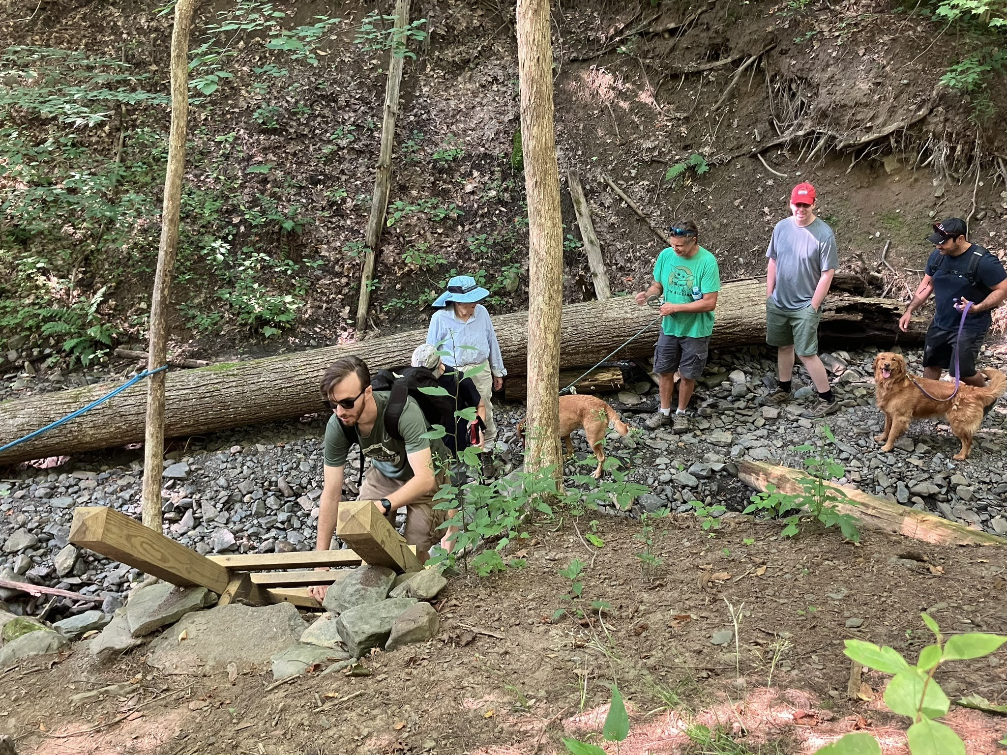
Saturday August 26
Hammond Hill State Forest from Star Stanton Road
Hike report by Jim
Fifteen hikers met for a loop hike of the green- and yellow-blazed trail system of Hammond Hill State Forest in Dryden. At the hike’s start, the day was overcast and somewhat cool–perfect hiking weather.
I found out in the day or so before our hike that we would be sharing Hammond Hill with both the Cayuga Trails Club and the Nordic ski club, although we didn’t actually run into either group during our hike.
What we did encounter along the way were a couple of wandering day hikers who went to the hill relying on their online maps, which were no good when they lost connectivity. We also met a couple of equestrians, a family group or two with dogs in tow, mountain bikers, and a lot of single hikers with or without dogs. In short, it seemed like everyone wanted to be in the forest today!
Our hike ran over on the planned time, which is a common problem for us on Hammond Hill. I keep tweaking our route, but we always seem to run over our usual two-hour hike time. There are some newly created blue-blazed trails on Hammond Hill, which will give me a chance to experiment with some new routes!
A warm welcome to Priyanka and Nitin, who joined us on their first Ithaca Hikers hike!


Sunday August 27
Bock Harvey Forest Preserve and Riemen Woods, Enfield
Hike report by Jim
Twenty-five hikers and four dogs met in Bock Harvey Preserve and Rieman Woods in Enfield. Cool temperatures and a sunny day greeted us as we set off from the cars. Mature goldenrod filled the fields above the parking area near the lean-to, where we paused for a quick group photo.
We reached the FLT and turned toward Rieman Woods. After completing that loop, the group returned to the FLT and took the trail back to Rockwell Road, crossing open pastures and traversing some nice woodlands along the way. The return leg of the hike took us on a side trail with some very nice old-growth trees.
There was very little water in the streams along our route. Dave B. was along for the hike, and he provided much insight into the preserve and its history.
We returned to our cars with a few minutes to spare.
A warm welcome to Meng Lin, Issac Hao, Zhonglin Wang, and Zheng Hao on their first hike with the group!