Wednesday, January 7
Lindsay Parsons Preserve, West Danby
Hike report by Mark Sussman
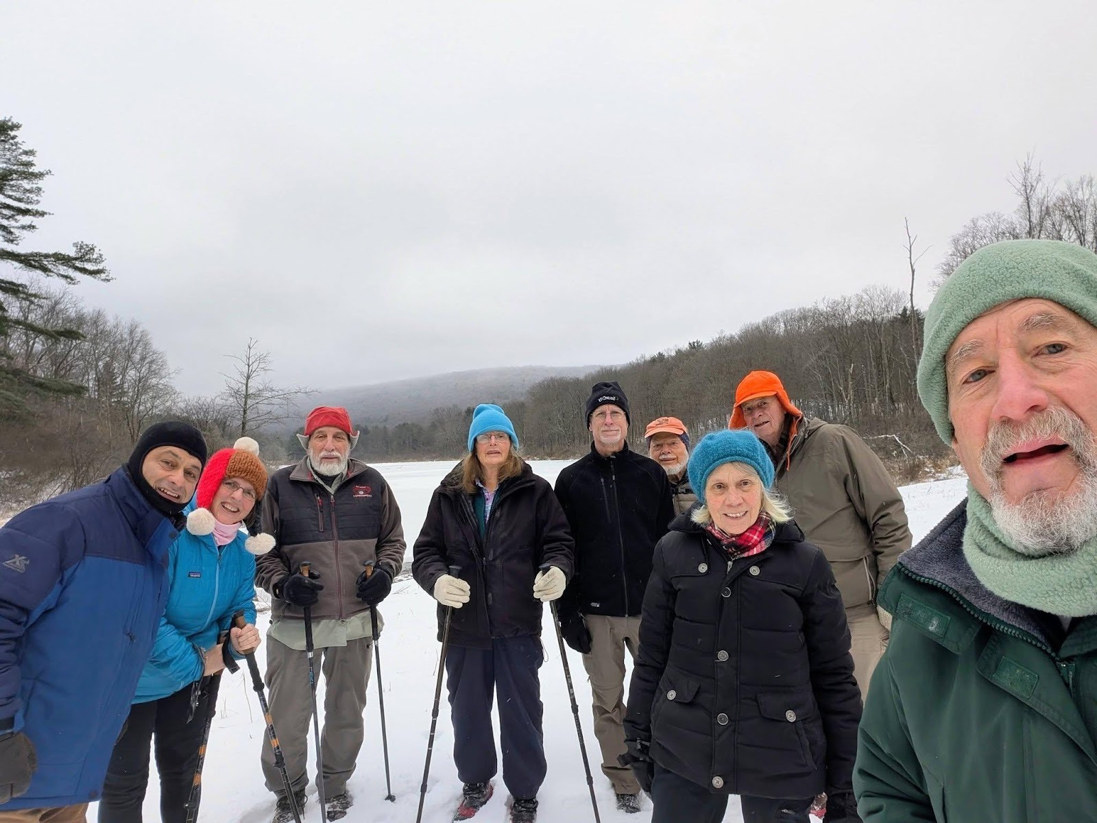
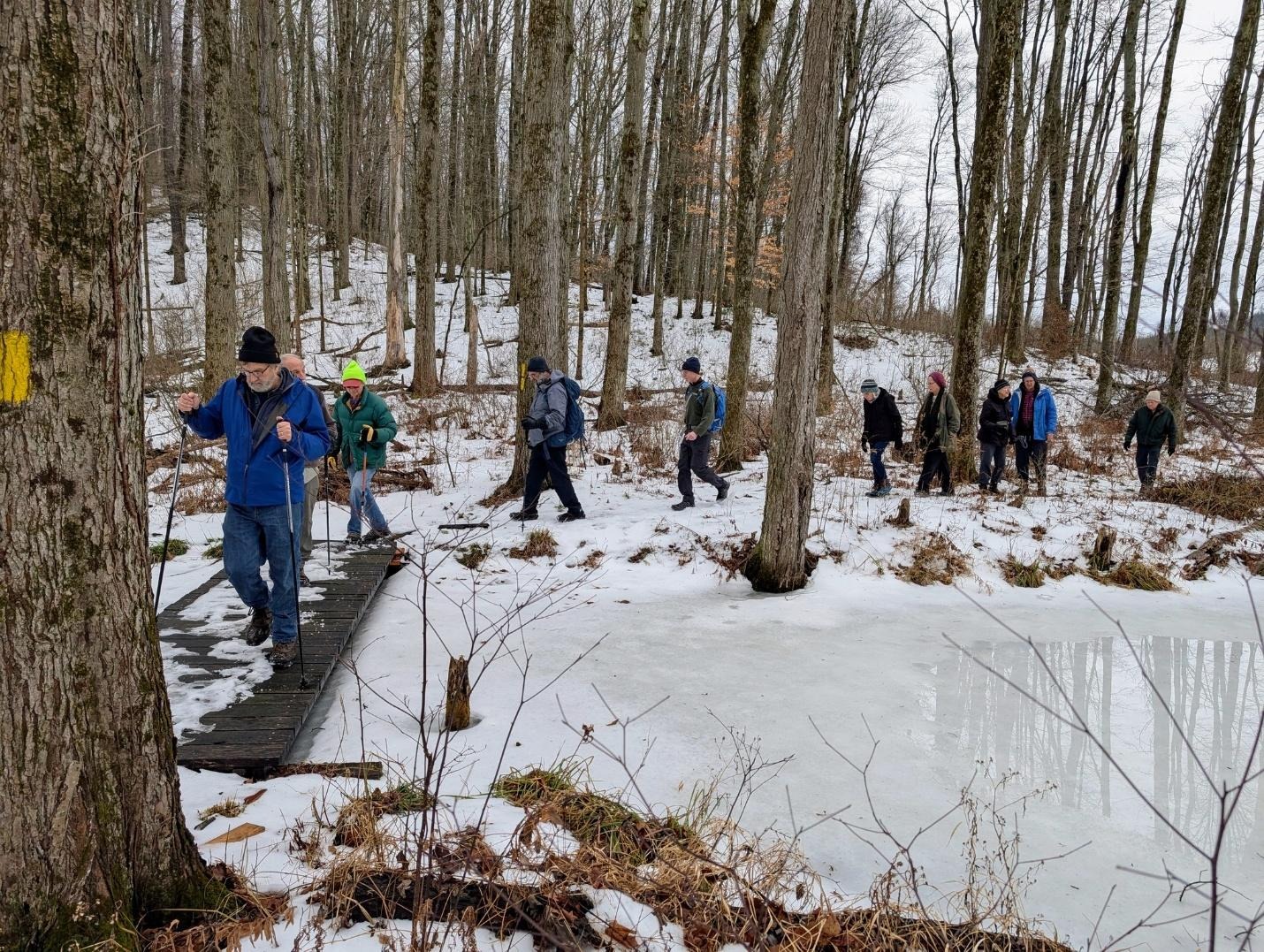
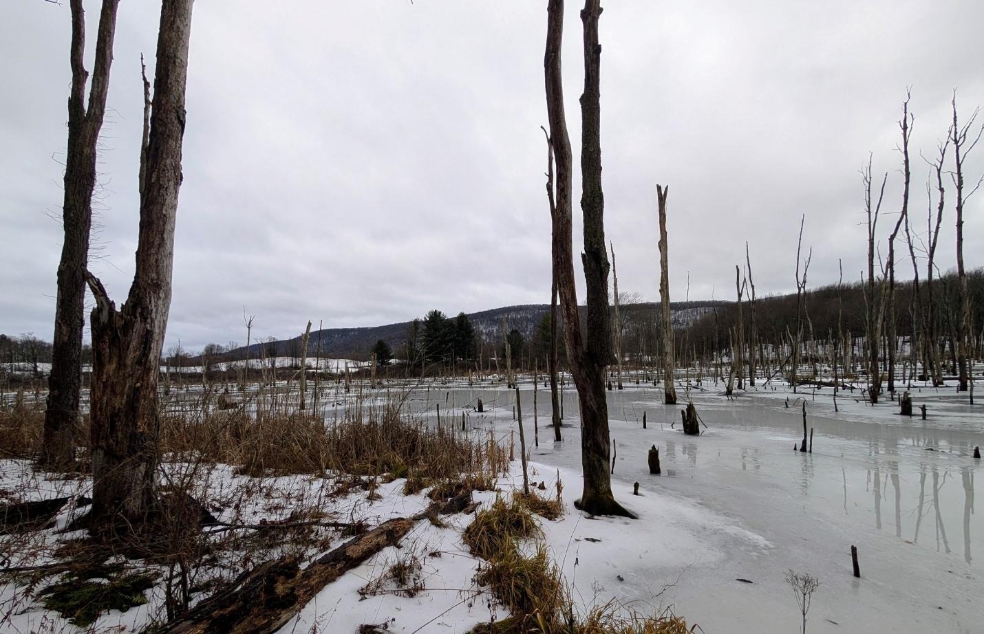
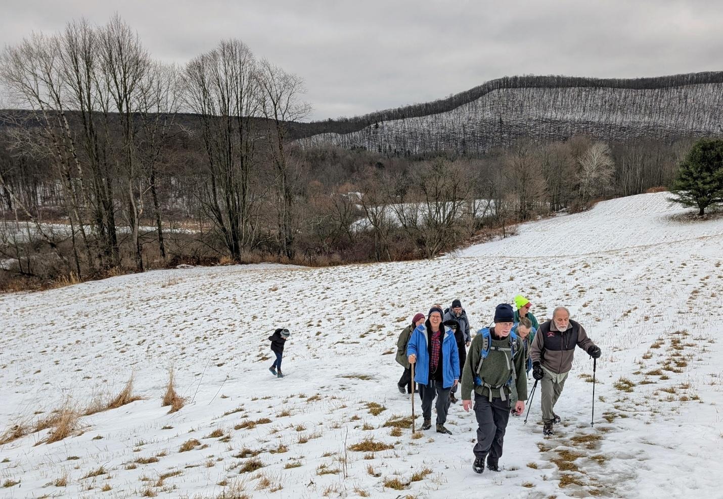
On Wednesday, January 7, thirteen hikers and 2 dogs met at the beautiful Lyndsay-Parsons preserve for a hike with the Ithaca Hikers. The weather cooperated as the drizzle stopped shortly before the hike began.
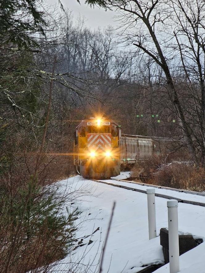
One dog (and owner) left early due to cold feet. The rest continued on through the fields and woods, admiring the frozen ponds and vistas. We even got to see a freight train pass as we crossed the tracks the second time. We finished in just under 2 hours as we were somewhat slowed down by the slushy snow.
Saturday, January 10
Upper Buttermilk State Park, Ithaca
Hike report by Nancy Lorr
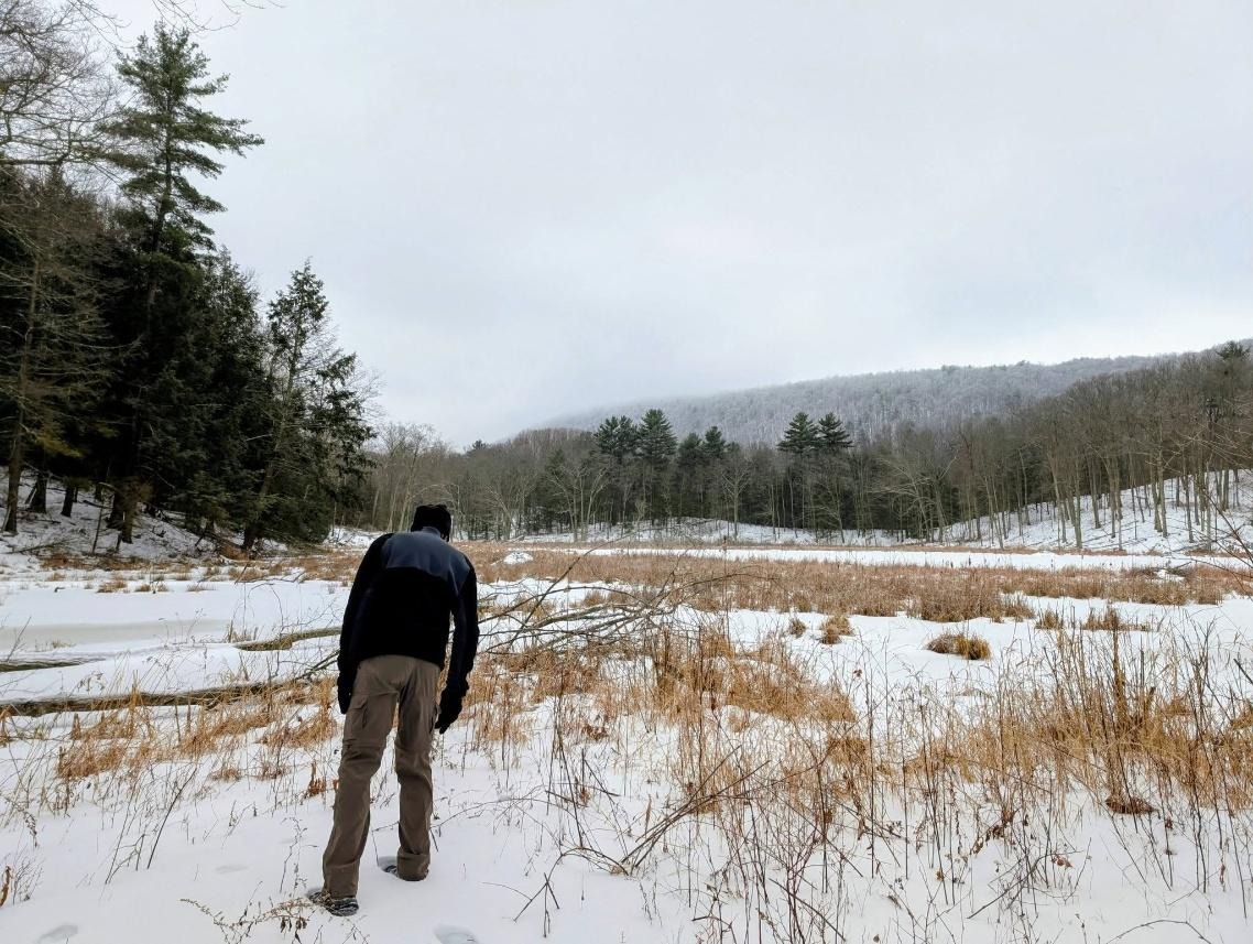
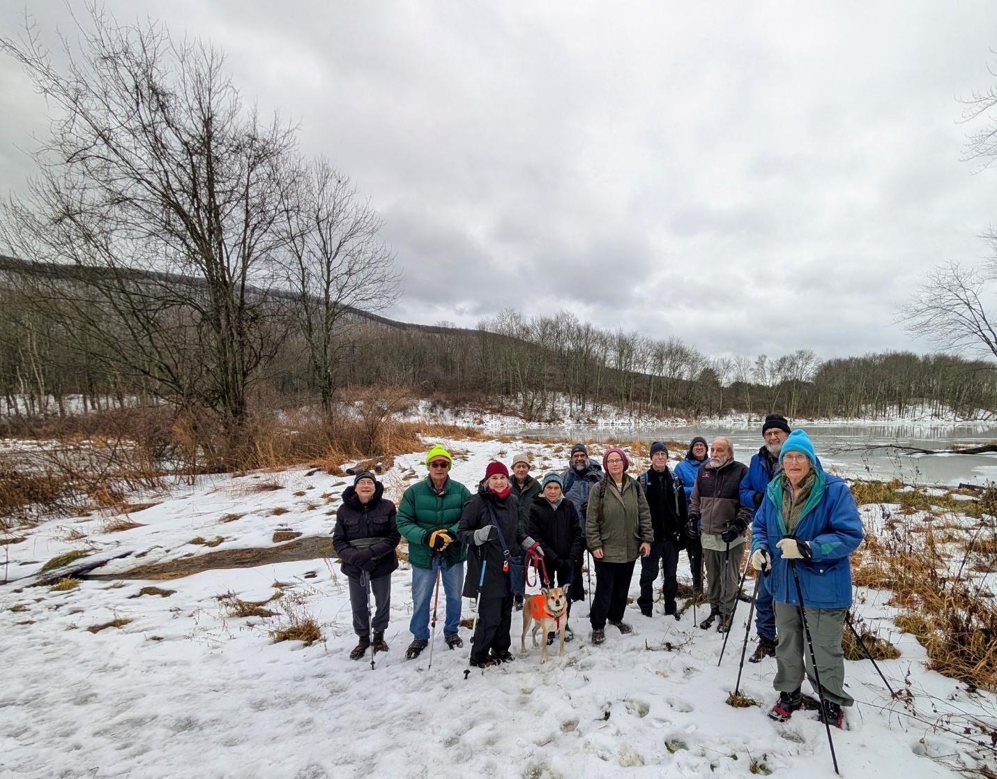
28 hikers and one dog gathered to hike this morning. The trails were sill quite icy though possible with foot traction and slowly improving with several days above freezing. We took the Bear Trail to Lake Treman. Then we took the trail skirting the West side of the “lake/bog/lagoon”. After visiting the impassible inlet we took a side trip to Yaple road before returning either by the Bear trail or the access road.


View Nancy Lorr and Randy Olson’s photo album.
Winter picnic report by Jim
Hike Leader Nancy L led todays hike and with the help of Randy O planned and prepped the location for our post-hike annual winter picnic at upper Buttermilk Falls State Park. I’ll leave the regular hike report to Nancy, but I’ll make a quick post on the picnic part of the day, as I helped set up and break down the picnic location at the small FLT-type lean-to just inside the upper park entrance
Randy, Roger, Bud and myself set up the tables, got the fires going in two of the park BBQ hibachis as well as a larger firepit. By the time the hikers were coming back from their out-and-back hike to the top of Treman Lake, we had the first course of meat on the grill and the various foods that hikers had left us prior to the hike laid out.
I was a little surprised to see the tree cutting going on in the upper park. See photo. The sawyer work has blocked about half of the normal parking spaces in upper Buttermilk, so out group today had many cars parked along the shoulder of the entrance road

Nancy L estimated that she had 28 hikers and a single dog on the hike. For the picnic we had three distinct waves of hikers at the tables. The first group were the people from the hike. After they had filtered away from the tables we had a second and third wave of hikers arrive with their own food contributions to the meal.
Towards the end of the event Randy estimated that we had an additional thirty hikers show up.
The temps were cool but tolerable. The walls of the creek bed had some sheets of ice still present despite somewhat warmer recent temperatures. Water was flowing quite well in the creek bed. Rain started falling at about 1:30 PM which was the cue for the hikers to pack up and call it a day.
I know that there were a couple of new hikers listed on the Meetup RSVPs. New-to-the-group Ross B was the only new hiker who I met.
One of the new hikers lost a mitten on the hike; that mitten has been located. Someone left a small blue igloo cooler at the lean-to. I have both items in my car, if the owners want to get ahold of me to get their property back
Thanks to all who hiked today and those who joined the group at our picnic!


Sunday, January 11
Finger Lakes Trail south and east from the corner of Townline and Layen Rds
Hike report by Leigh Ann
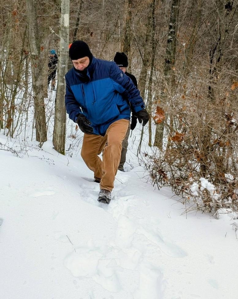
Twenty-seven hikers and two dogs on leashes met at the corner of Layen and Townline Roads for an out-and-back hike south on the FLT. We hadn’t hiked this section of the FLT since a major windstorm in the summer of 2024 knocked down lots of trees along the route. These trees have been cleared, and this gorgeous, satisfying hike is back open.
Foot traction was useful today because there was ice everywhere, especially on the steep gorge crossing a mile south of the meet-up point and up Bruce Hill Rd. Bruce Hill Rd. was like an ice skating rink.
We even got bright sun for the last hour of our hike. This was the extent of bright sun that day. By noon, snow had come back in.